DGPS Survey
High-accuracy differential GPS surveys for control point establishment, boundary demarcation, and geospatial referencing across large project areas.
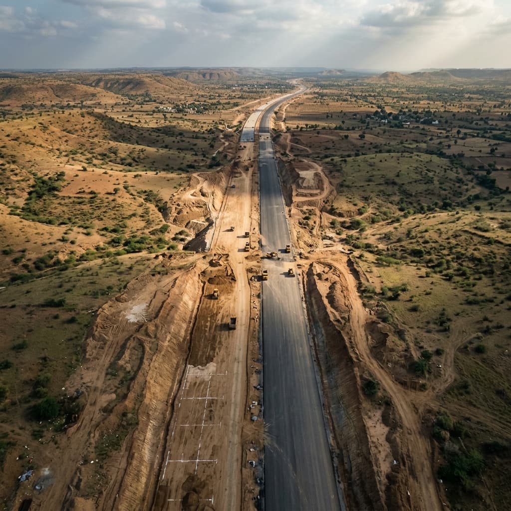
DGPS, Drone, LiDAR, and Total Station surveys for highways, railways, mining, solar energy, and government infrastructure projects — delivered with engineering precision.
Trusted by infrastructure developers, engineering consultants and government projects across India, we deliver accurate, reliable and project-ready geospatial data.
150+
Projects Executed
Across infrastructure, energy, mining and development sectors.
50,000+
Acres / KM Surveyed
Large-scale & corridor projects across diverse terrains.
PAN India
Service Coverage
Project execution and support across all states.
6
Survey Technologies
Drone, GNSS, LiDAR, Total Station, Thermal and GIS.
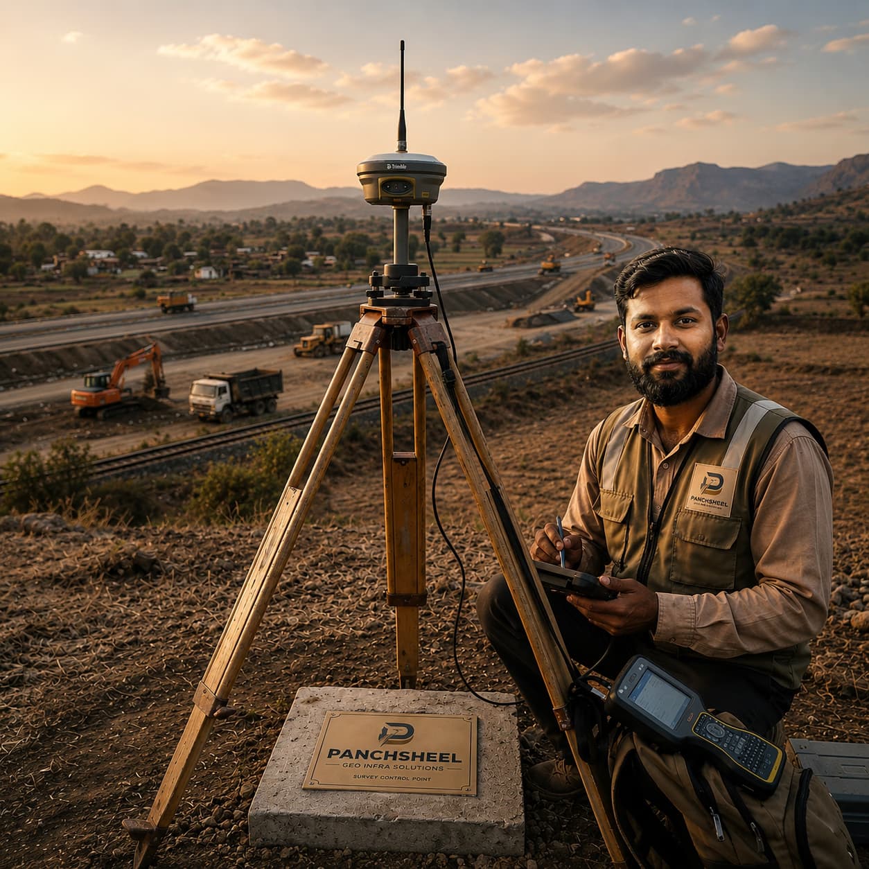
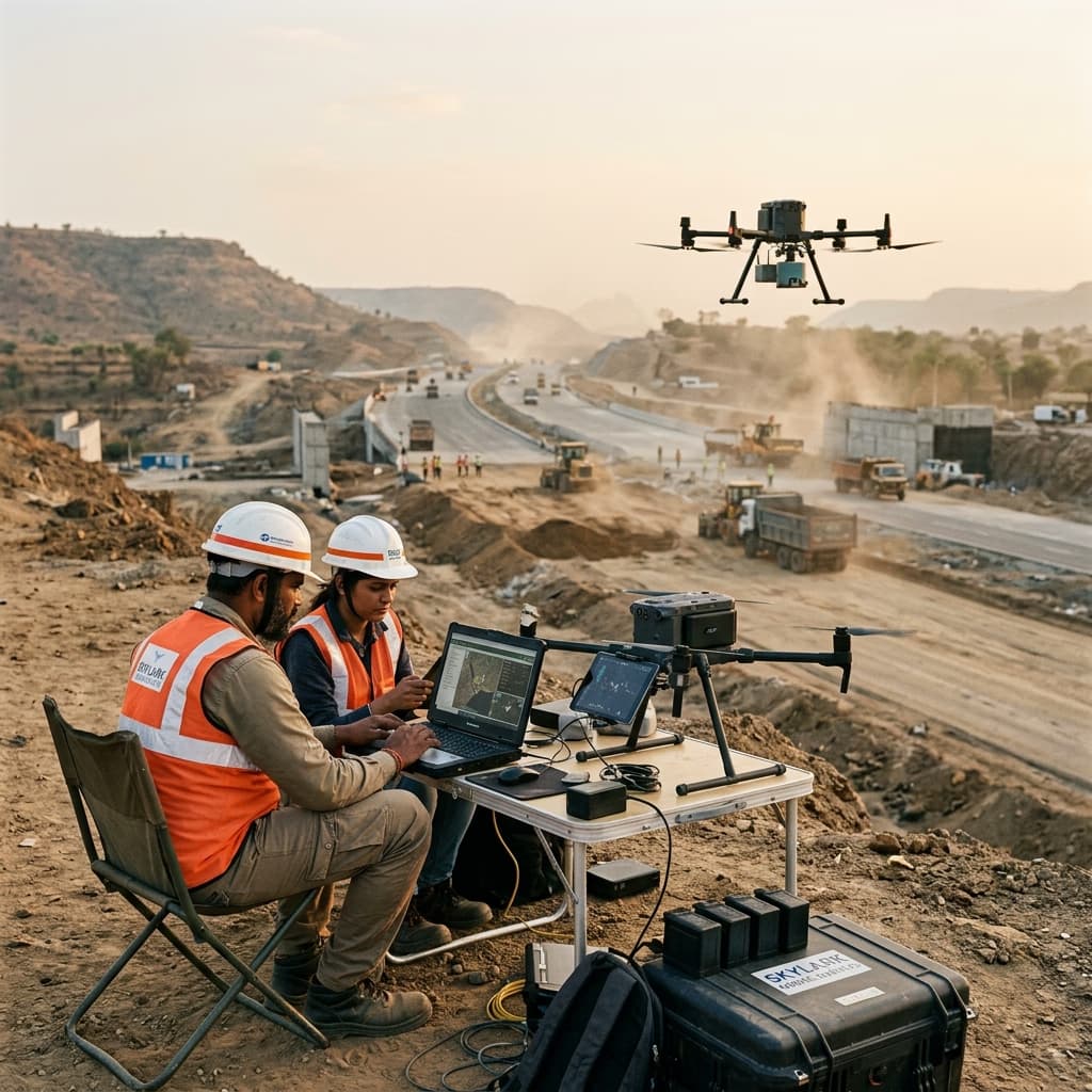
Field Data Acquisition
Panchasheel Geo Infra Solutions is a geospatial surveying and infrastructure support company providing accurate, reliable and project-ready spatial data for infrastructure, energy, industrial and development projects across India.
We combine field surveying, modern survey technologies, data processing and QA/QC to produce engineering-ready outputs for planning, design and execution.
Survey acquisition through processing and QA/QC.
Maps, terrain models, CAD/GIS and technical documentation.
Drone, GNSS, LiDAR and modern geospatial workflows.

Infrastructure development requires absolute technical integrity. Every major engineering decision depends entirely on the precision of the initial ground truth.
We founded Panchasheel Geo Infra Solutions to bring modern surveying technology to India’s critical infrastructure projects. We don't just supply maps; we take engineering responsibility for our geospatial data, delivering reliable outputs you can build upon with absolute confidence.
Raja Pathekar
Founder & Director
People
Technology
Infrastructure

From highways and railways to mining, utilities, and renewable energy projects, we capture precise field data and deliver reliable engineering outputs that consultants, contractors, EPC companies, and infrastructure developers can confidently build upon.
Positioning Accuracy
Sub-centimetre DGPS — suitable for geodetic control networks and precise boundary surveys.
Data Deliverables
Point clouds, orthomosaics, DEM files, contour maps, and georeferenced CAD drawings.
From initial reconnaissance to final deliverables — our survey services cover every stage of infrastructure and engineering projects, using the right technology for each requirement.
High-accuracy differential GPS surveys for control point establishment, boundary demarcation, and geospatial referencing across large project areas.
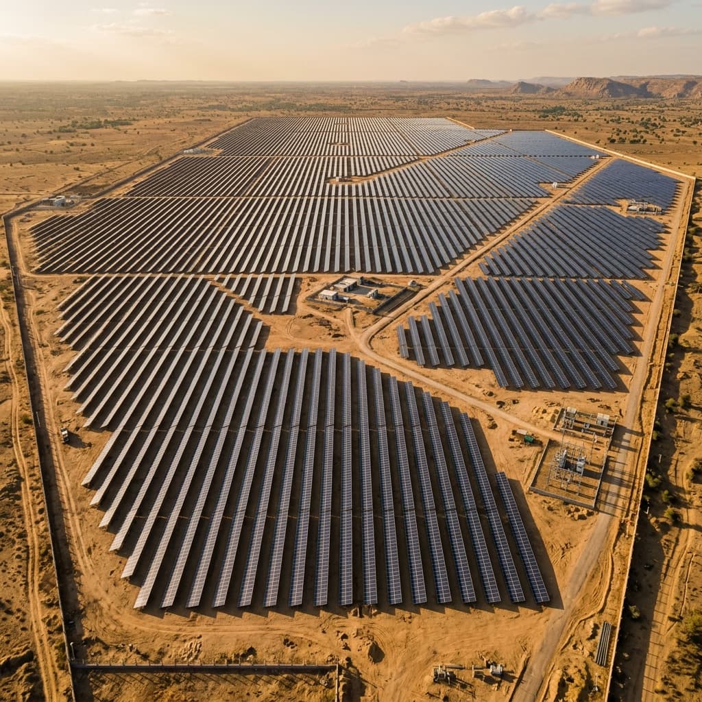
Drone-based thermal imaging surveys for infrastructure inspection, solar power plants, electrical utilities, industrial facilities, building diagnostics, and asset condition assessment. High-resolution thermal cameras identify heat loss, electrical faults, equipment anomalies, and maintenance issues before they become critical.
3D point cloud data capture for terrain modelling, corridor mapping, vegetation analysis, and detailed surface characterisation.
Detailed ground-level surveys recording natural and man-made features, elevation data, and land contours for engineering design.
Comprehensive surveys for power transmission corridors, including route alignment, tower spotting, profile surveys, right-of-way mapping, and detailed topographic data to support transmission line planning, design, construction, and maintenance.
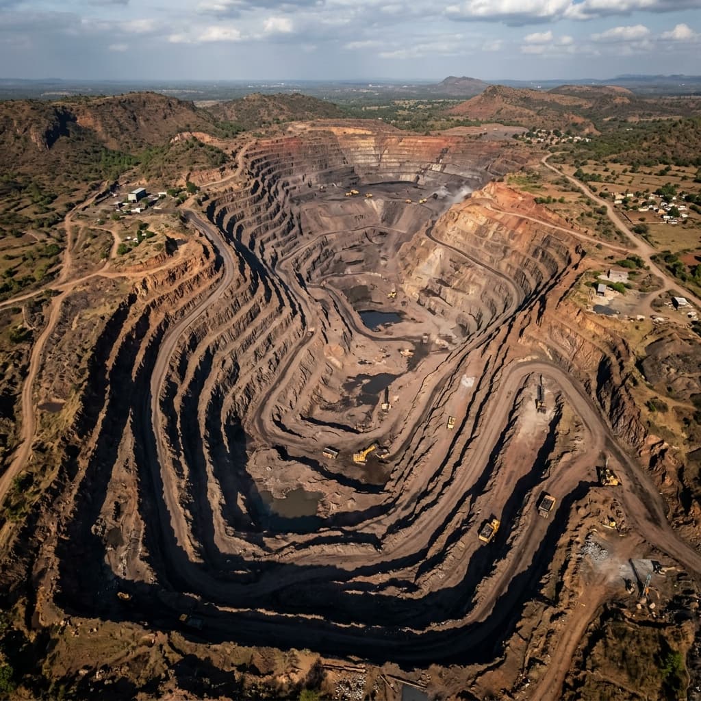
Pit surveying, volumetric estimation, lease boundary mapping, and regulatory compliance surveys for active mining operations.
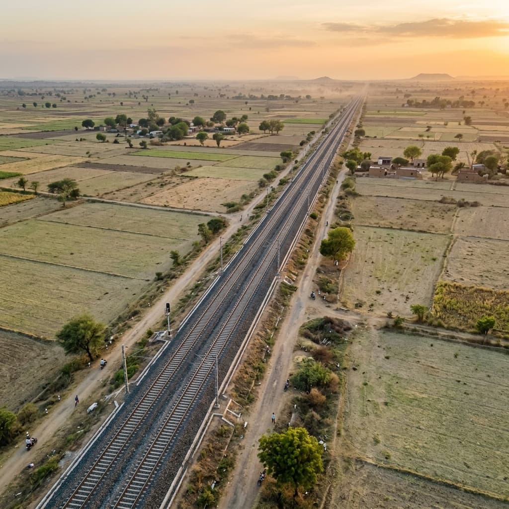
Corridor surveys for highway and railway projects including alignment planning, cross-section generation, and right-of-way mapping.
Spatial data processing, thematic mapping, and geographic information system outputs for planning, analysis, and decision support.
Our survey teams operate across India's most demanding infrastructure sectors — from highway corridors and railway tracks to active mining sites and renewable energy installations.
Every project is executed with the right instrument for the task. Our equipment inventory covers precision ground surveys through to high-altitude aerial data capture.
Differential Global Positioning System
Sub-centimetre positioning accuracy for control surveys, boundary surveys, and large-area geospatial referencing.
Unmanned Aerial Vehicle Survey Platforms
Professional drone platforms for aerial photogrammetry, orthomosaic generation, volumetric analysis, and site monitoring.
Electronic Total Station
Precision angle and distance measurement for engineering surveys, construction layout, and detailed topographic mapping.
Light Detection and Ranging
High-density 3D point cloud capture for terrain modelling, corridor surveys, and vegetation canopy analysis.
Geographic Information Systems
Spatial data processing, thematic mapping, and geospatial analysis using industry-standard GIS platforms.
Advanced Thermal Imaging
Advanced thermal imaging surveys for infrastructure inspection, solar plants, utilities, industrial facilities, and condition assessment using high-resolution thermal cameras mounted on drones.
Share your project scope, site location, and survey requirements. Our team will provide a detailed technical proposal and quotation within 48 hours.