Surveying solutions for
complex infrastructure.
We provide end-to-end surveying and geospatial solutions using advanced technologies and field expertise, supporting infrastructure, energy, industrial and development projects across India.
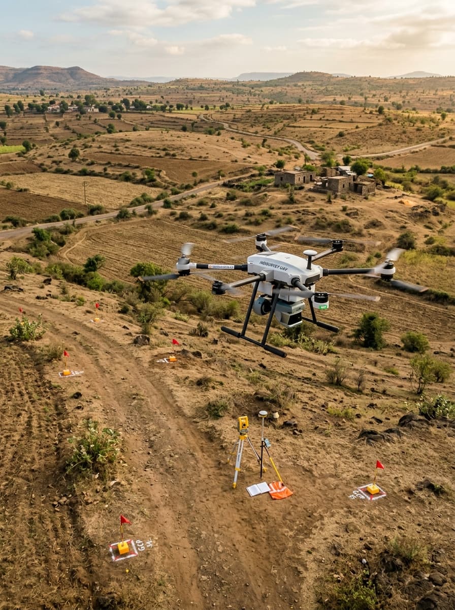
Survey Technologies
Drone / UAV Survey
High-resolution aerial data for accurate mapping and terrain analysis.
DGPS / GNSS Survey
High-precision positioning and control for infrastructure projects.
LiDAR Survey
Detailed 3D data capture for complex and large-scale areas.
Total Station Survey
Precise ground surveying for engineering and construction requirements.
Thermal Survey
Thermal data capture for infrastructure, energy and asset inspection.
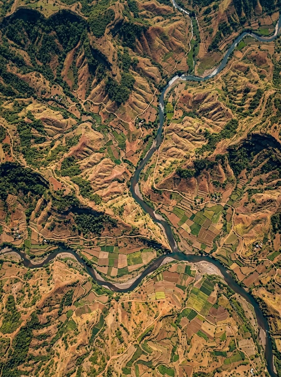
Mapping & Geospatial
Topographic Survey
Detailed mapping of natural and man-made features.
Photogrammetry
Accurate 2D and 3D models from aerial imagery.
GIS Mapping
Spatial data creation, analysis and custom mapping solutions.
Terrain Modelling
DTM, DSM and high-accuracy terrain models.
Contour Mapping
Contour generation for planning, design and analysis.
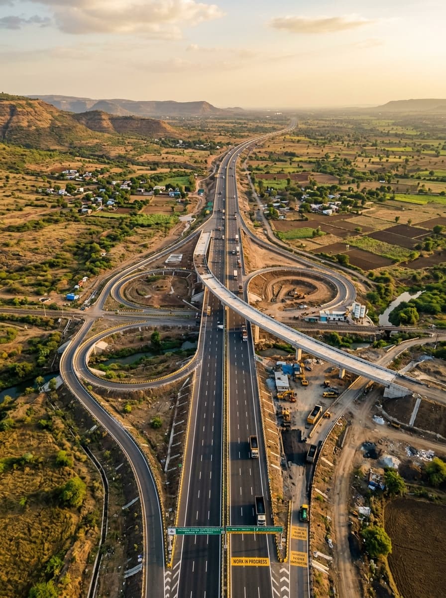
Infrastructure Applications
Solar & Renewable Energy
Survey and mapping for solar parks and renewable-energy projects.
Highway / Road Survey
Corridor surveying for highways, expressways and road infrastructure.
Railway Survey
High-precision surveys for railway alignment and infrastructure.
Mining Survey
Terrain and volume surveys for mining and resource management.
Transmission Line Survey
Route survey, tower locations and corridor mapping.
Land Acquisition Survey
Survey and documentation support for land acquisition and development.
From the ground to a stronger tomorrow